Technology that strengthens restoration project integrity
At LDN Advisory, technology is not a standalone layer. It is what helps us turn land intelligence into better decisions, stronger monitoring, and more credible restoration projects.
By combining satellite observation, field data, and advanced modelling, we build a clearer understanding of land dynamics, strengthen project design, and improve long-term monitoring.
From observation to actionable insight
Understanding land is the foundation of any restoration project.
We use a combination of remote sensing, field data collection, and analytical tools to turn raw information into clear, usable insights.
This allows us to move from visual observation to structured understanding, and from data points to decision-making tools.

Land condition
Assessment of degradation levels, soil exposure, and landscape fragmentation.

Vegetation dynamics
Monitoring of vegetation cover, seasonal shifts, and long-term trends.

Water patterns
Understanding water flows, retention zones, and climate variability.

Land use & human activity
Identification of agricultural use, settlements, and land pressure.

Restoration potential
Evaluation of areas with the highest ecological and economic potential.
The building blocks of our technology model

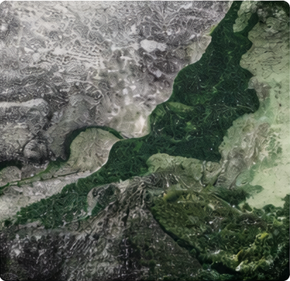
Earth observation
Satellite imagery helps us assess land condition, vegetation dynamics, water patterns, and landscape change at scale.

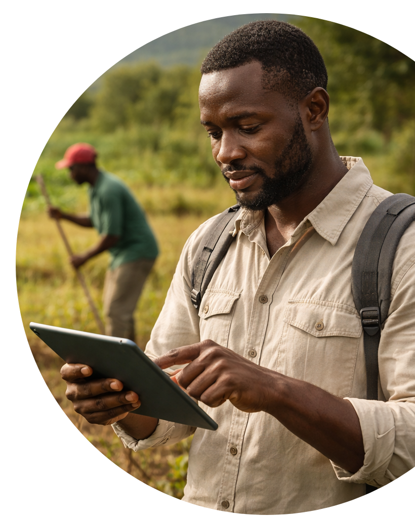
Field intelligence
Ground-level data and local validation help us refine interpretation, capture field realities, and strengthen decision-making.

Analytical modelling
Spatial analysis and modelling tools help transform raw information into structured insights for project design and monitoring.

Monitoring systems
Ongoing monitoring frameworks help track change over time and support transparency, consistency, and project integrity.
How we use technology in practice
Our technology model is applied across five key functions that support more informed decisions and more effective restoration outcomes.
It helps us understand land history, assess territories at scale, monitor ecosystem change, improve operational visibility, and support better long-term planning.

Historical contextualisation
Technology helps reconstruct the trajectory of a landscape over time. This provides a clearer understanding of degradation, land-use change, and the pressures that have shaped current conditions.

Large-scale assessment
Restoration needs to be understood beyond a single plot. Technology helps analyse wider territories, compare land patterns, and identify areas with the strongest relevance for intervention.


Ecosystem monitoring
Technology supports the monitoring of ecological change over time, including vegetation dynamics, land-cover evolution, and other indicators relevant to restoration performance.

Operational visibility
By combining different sources of information, technology improves visibility on ongoing conditions and helps support implementation decisions in a more informed and responsive way.

Forecasting & scenario support
Advanced modelling helps anticipate developments, test assumptions, and compare options. This strengthens decision-making under uncertainty and supports more robust long-term planning.
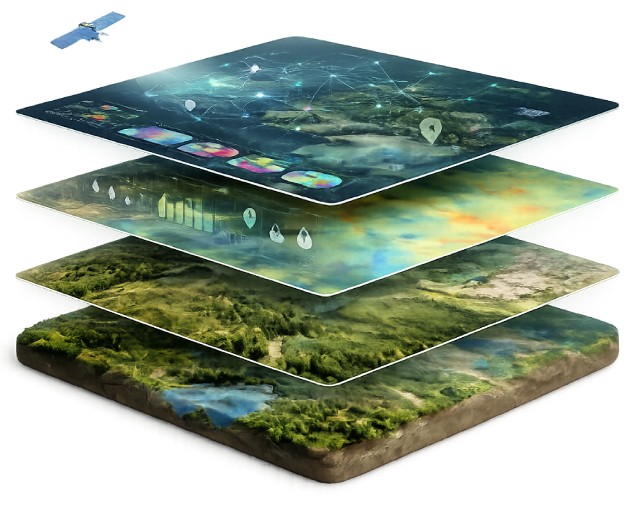
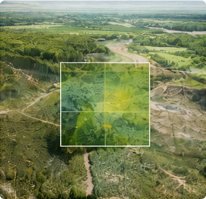
The role of the Digital Twin
One of the most advanced dimensions of our technology model is the use of digital landscape representations that bring multiple layers of land information into a single analytical environment.
This can include satellite data, field observations, environmental parameters, and dynamic monitoring inputs. The objective is not to create technology for its own sake, but to improve how restoration systems are understood, monitored, and managed over time.
A Digital Twin can help simulate scenarios, refine assumptions, and support more informed long-term decisions.
Technology does not replace field knowledge
Our technology model is designed to complement, not substitute, territorial understanding and field-based expertise.
Technology helps make those realities more visible, more measurable, and more actionable. But its value depends on how well it is connected to field observation, local validation, and implementation experience.
It strengthens the link between land assessment, project design, monitoring, and on-the-ground decision-making.
Build restoration projects on smarter land intelligence
Whether you are a public actor, landowner, investor, or technical partner, we can help transform territorial data, field observations, and monitoring inputs into a structured technology framework for credible restoration projects.