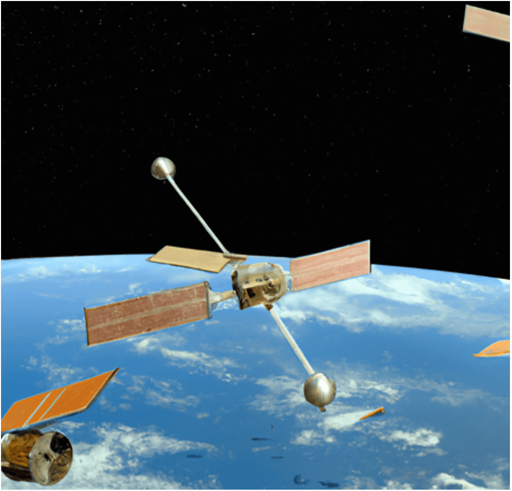
Introduction to Earth Observation (EO)
LDN Advisory alignment with Land Degradation Global Standards
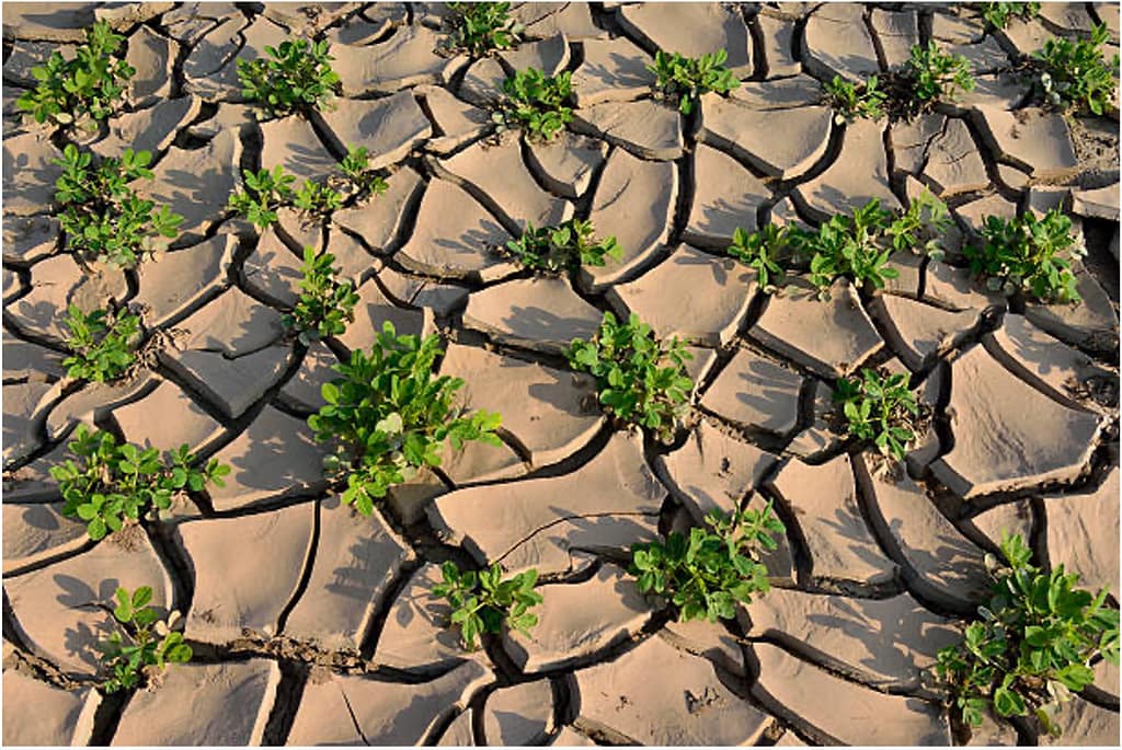
LDN Advisory’s strategic investment in Earth Observation (EO) based technology is driven by its commitment to land restoration and sustainable development. EO technology provides critical insights into land degradation and regenerative processes, enabling continuous and precise environmental monitoring.
This technological approach aligns with the United Nations Convention to Combat Desertification (UNCCD), which outlines three essential indicators for assessing Land Degradation Neutrality (LDN): vegetation productivity, land cover, and soil organic carbon. These indicators serve as a global standard for evaluating regenerative practices and understanding the land’s capacity to offer ecosystem services. By leveraging EO technology, LDN Advisory not only monitors these indicators effectively but also ensures its efforts are in harmony with the Sustainable Development Goals (SDG) process.
What is EO?
EO encompasses remote sensing and in-situ Internet of Things (IoT) sensors technologies that capture the planet’s physical, chemical, and biological systems, offering comprehensive monitoring capabilities over land, water, and the atmosphere. This includes satellite-based EO, which relies on satellite-mounted payloads for data gathering, pivotal for identifying changes and patterns across various domains.
EO technologies, which include optical, thermal, and radar remote and in-situ sensors, differ in their performance parameters such as spatial, temporal, spectral, and radiometric resolutions. These parameters determine the detail, frequency, and type of data captured, essential for a wide range of applications from climate forecasting to environmental analysis:
- EO sensors vary in their technology, capturing data through mechanisms across different segments of the electromagnetic spectrum.
- Spatial resolution categorizes satellites into low, medium, high, and very-high resolution, defining the pixel size and detail level in the images.
- Temporal resolution indicates how often data is collected for a specific area, varying from daily to a few hours for satellite technology, limited by orbital geometry, to near real time performance for local monitoring with IoT sensors.
- Spectral resolution, pertinent to optical sensors, and radiometric resolution, which measures sensor sensitivity, are crucial for analyzing specific wavelengths and detecting minute differences in emitted or reflected energy.
Harnessing EO Technology for Land Restoration and Operations Optimization
LDN Advisory utilizes Earth Observation technology to offer unparalleled support to its customers, enabling a profound understanding of the historical and future evolution of lands. This approach optimizes on-ground operations, tailored to specific project needs and implementation phases. Here’s how LDN Advisory leverages EO capabilities:
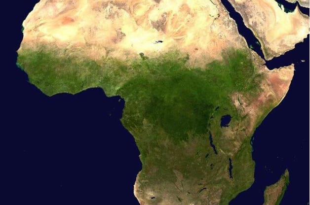
- Historical and Local Contextualization: By accessing extensive satellite imagery archives, such as Landsat and Sentinel missions, LDN Advisory unravels the intricate social and historical narrative of land use change dynamics. This process is crucial in regions that have undergone significant transformations over extended periods, exemplified by the Sahel Region. Here, one could witness, through meticulous study, the evolution from natural primary semi-arid biomes, where transhumant pastoral practices were particularly adapted, to sedentary agricultural exploitation which has led the lands to their current state of degradation. This deep insight not only highlights the potential for regeneration, offering valuable insights for investors and project developers but also, informs strategies aimed at reversing degradation and fostering ecological recovery.
- Continental Scalability: The integration of diverse satellite data types enables LDN Advisory to assess large landscapes at a continental scale. This scalability is essential for the LDNA methodology, which operates across vast areas to evaluate and implement land restoration projects effectively within their regional context.
- Ecosistemic Monitoring: LDN Advisory leverages advanced spectral analysis of satellite imagery to extract critical ecological information. This approach not only captures a broad spectrum of ecological phenomena – ranging from vegetal biodiversity and photosynthetic activity to moisture levels in vegetation, soil, and water point turbidity – but also opens avenues for incorporating cutting-edge imaging technologies, like hyperspectral analysis. Such integration, beyond traditional multispectral image analysis, amplifies our ability to discern intricate environmental indicators, including, but not limited to, the carbon content in vegetation and the presence of various pigments in leaves. This empowers LDN Advisory’s clients with actionable insights, enhancing their understanding of land regeneration drivers and refining their strategic approaches to land management.
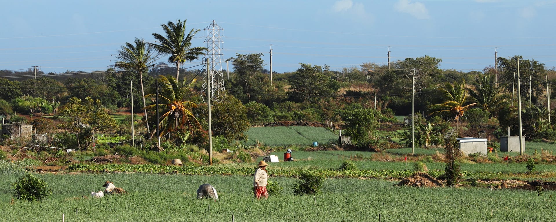
- Real-Time Monitoring: The hybrid approach combining remote sensing with local monitoring through an IoT sensor network facilitates immediate data acquisition. This real-time monitoring capability ensures to LDN Avisory’s customers timely insights into land conditions, essential for responsive and optimized land management practices.
- Landscape Essential Variable Forecasting: Leveraging AI technology, LDN Advisory forecasts landscape evolution based on IPCC climate change scenarios and anticipated anthropogenic impacts. This predictive capacity enables strategic planning for land regeneration, carbon sequestration monitoring, and the anticipation of future environmental conditions.
Through these five strategic EO technology applications, LDN Advisory provides clients with critical insights for informed decision-making in land restoration and operational optimization. This approach, enriched by comprehensive land restoration expertise, forms the foundation of our integrated regenerative model. It highlights LDN Advisory’s dedication to sustainable development and environmental stewardship, demonstrating our commitment to leveraging data-driven solutions for the betterment of ecosystem management and conservation efforts.
Innovating with Eco-systemic Landscape Digital Twin Technology
Leveraging the previously outlined five strategic EO applications into its technological core components, LDN Advisory Introduces the Eco-systemic Landscape Digital Twin and embarks on a disruptive journey in environmental management. This innovative model seamlessly integrates continuous, large-scale satellite imagery and in-situ real time IoT data, historical and forecasted weather patterns, and soil quality metrics to provide a comprehensive virtual representation of ecosystems.
Cloud computing’s scalability enables sophisticated AI models to process and analyze this extensive data efficiently, improving model accuracy over time thanks to ground truth collected through local sensor networks. The implementation of this closed feedback loop, is central, ensuring the continual refinement and accuracy of the Digital Twin models based on real-world inputs and outcomes. This holistic and adaptive technology exemplifies LDN Advisory’s commitment to cutting-edge solutions for sustainable land management and restoration.